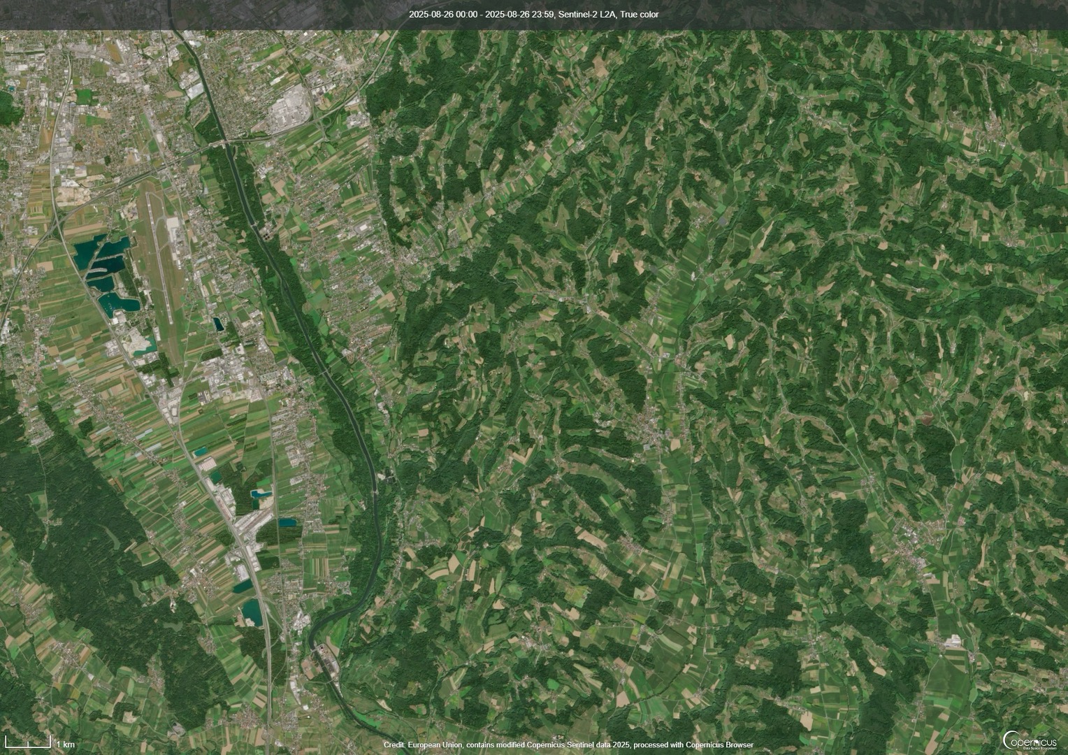
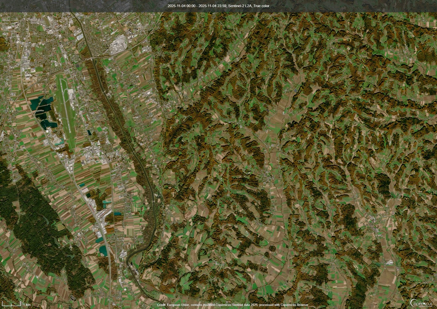
We combine Earth observation, meteorological, and in-situ data for prediction of soil erosion when strong precipitation is expected. A collaboration between academia, industry, municipalities, and farmers to protect our soils.
Wir verknüpfen Erdbeobachtung, meteorologische, und in-situ Daten, um die Bodenerosion zu prognostizieren, wenn starke Niederschläge erwartet werden. Eine Kollaboration von Universität, Industrie, Gemeinden und Landwirt:innen soll dafür sorgen, dass unsere Böden geschütz werden.

 Ein Konsortium von Partnern mit unterschiedlicher Expertise arbeitet zusammen an dem DRAIN Projekt, um die beste Lösung zu finden.